![NATIONAL GEOGRAPHIC WIND RIVER RANGE SOUTH MAP [LANDER, CIRQUE OF THE TOWERS]](https://cdn11.bigcommerce.com/s-fbirgufogo/images/stencil/300x300/products/83824/108874/667054__38473.1775170220.jpg?c=1 "NATIONAL GEOGRAPHIC WIND RIVER RANGE SOUTH MAP [LANDER, CIRQUE OF THE TOWERS]")
NATIONAL GEOGRAPHIC WIND RIVER RANGE SOUTH MAP [LANDER, CIRQUE OF THE TOWERS]
$16.99
NATIONAL GEOGRAPHIC
FREE US SHIPPING ON ORDERS OVER $100 - (970) 369-9906
![NATIONAL GEOGRAPHIC WIND RIVER RANGE NORTH MAP [PINEDALE, DUBOIS]](https://cdn11.bigcommerce.com/s-fbirgufogo/images/stencil/1280x1280/products/83810/108857/369688__52448.1775170213.jpg?c=1 "NATIONAL GEOGRAPHIC WIND RIVER RANGE NORTH MAP [PINEDALE, DUBOIS]")
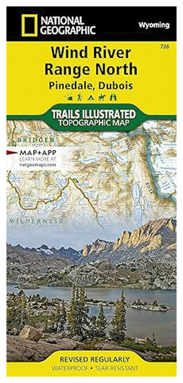
Backcountry explorers, hiking enthusiasts, and mountaineers tackling the Wind River Range need reliable navigation tools that stand up to demanding alpine terrain. This detailed topographic map covers the North section of the Wind River Range, encompassing the Pinedale and DuBois areas, making it an essential reference for anyone planning expeditions, day hikes, or multi-day treks through this iconic Wyoming wilderness. Whether you're navigating high peaks, remote valleys, or established trail systems, this professionally-crafted map provides the geographic intelligence required for safe and confident travel through rugged mountain country.
In real-world wilderness conditions, this map excels as your primary navigation tool or valuable backup to digital systems. The high-quality reproduction ensures legibility even in low light or after extended exposure to pack compression and weather. Contour lines reveal terrain challenges before you encounter them, allowing for informed route decisions and safer travel planning. The paper quality resists tearing while remaining flexible enough for field use, and the intuitive color scheme quickly communicates slope steepness and land character. GPS coordinates align with modern devices, enabling seamless integration with both traditional and digital navigation methods.
This map is ideal for mountaineers attempting technical peaks, backpackers planning multi-day loop routes, day hikers exploring established and alternative trails, and outdoor educators teaching wilderness navigation skills. Whether you're a first-time visitor to the Wind River Range or a returning adventurer exploring new terrain, this Northern section map provides the detailed geographic foundation necessary for successful and safer backcountry travel.
Reach out to our support team with any questions you might have!
Contact Us
NATIONAL GEOGRAPHIC


