

NATIONAL GEOGRAPHIC APPALACHIAN TRAIL VT NH MAP PACK
NATIONAL GEOGRAPHIC
$28.99
(No reviews yet)

Write a Review
NATIONAL GEOGRAPHIC
NATIONAL GEOGRAPHIC APPALACHIAN TRAIL VT NH MAP PACK
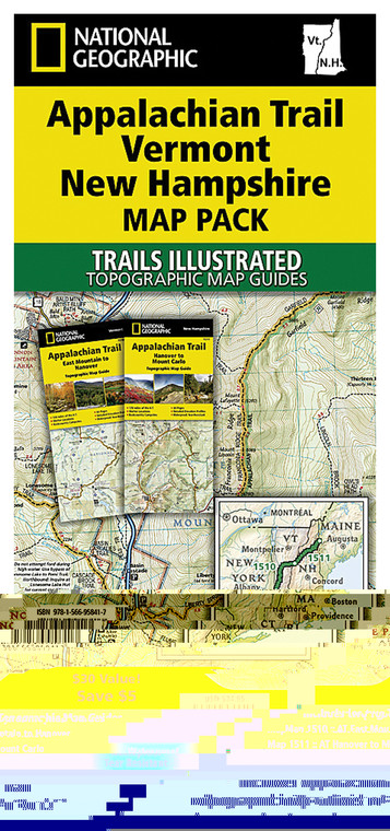
Navigating the legendary Appalachian Trail through Vermont and New Hampshire demands reliable, detailed maps that go beyond standard trail guides. This comprehensive map pack is specifically designed for backcountry hikers, section trekkers, and outdoor enthusiasts planning to tackle one of North America's most iconic long-distance trails across these two challenging northeastern states. Whether you're embarking on a multi-week expedition or completing a series of weekend sections, these professionally researched maps provide the geographic intelligence necessary for safe, confident wilderness travel through rugged mountain terrain and remote forest corridors.
- Waterproof, durable paper construction resists moisture, tears, and wear from backpack carrying and field use
- Contour lines and elevation markers enable accurate route finding and terrain assessment for strategic hiking decisions
- Trail markings, shelters, water sources, and established campsites clearly identified for trip planning and safety
- Topographic detail reveals ridgelines, valleys, and natural features for understanding landscape navigation challenges
- Multiple map sheets provide comprehensive coverage of both Vermont and New Hampshire trail sections with overlap zones
- Legend and scale information assist with distance calculation, time estimation, and precise waypoint identification
- Printed by National Geographic using cartographic expertise and field-verified data from hiking communities
- Compact, lightweight format fits standard backpack pockets without excessive bulk or weight penalties
These maps excel in real-world hiking scenarios where smartphone batteries fail, GPS units malfunction, or cell service disappears into deep valleys and high ridges. Hikers tackling the challenging Green Mountains of Vermont or the White Mountains of New Hampshire face unpredictable weather, multiple trail junctions, and altitude changes that demand constant geographical awareness. The detailed contour mapping helps identify water sources during dry seasons, reveals shelter locations before nightfall arrives, and provides critical context when trail conditions deteriorate or visibility drops suddenly. Weekend warriors completing moderate sections benefit equally with precise mileage markers and elevation profiles that inform pace expectations and energy management throughout the day.
Perfect for experienced backcountry trekkers, section hikers collecting trail memories over multiple seasons, hiking clubs organizing group expeditions, and outdoor educators teaching wilderness navigation skills. Anyone planning serious time on the Appalachian Trail in New England should carry these maps as essential backup navigation tools alongside modern GPS technology.
Questions about the NATIONAL GEOGRAPHIC APPALACHIAN TRAIL VT NH MAP PACK?
Reach out to our support team with any questions you might have!
Contact Us

