

NATIONAL GEOGRAPHIC ISLAND IN THE SKY DISTRICT: CANYONLANDS NATIONAL PARK MAP
NATIONAL GEOGRAPHIC
$13.99
(No reviews yet)

Write a Review
NATIONAL GEOGRAPHIC
NATIONAL GEOGRAPHIC ISLAND IN THE SKY DISTRICT: CANYONLANDS NATIONAL PARK MAP
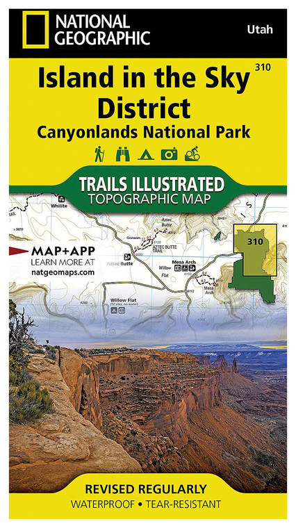
Navigating rugged desert terrain requires reliable, detailed topographic reference material that accounts for elevation changes, trail systems, and landmark locations. This waterproof map of Canyonlands National Park's Island in the Sky District delivers the geographic intelligence outdoor enthusiasts need for safe, confident exploration of Utah's most dramatic canyon country. Whether you're planning a multi-day backpacking expedition, day hiking adventure, or simply want to understand the landscape's complex geology and geography, this professionally rendered cartographic resource provides essential orientation information that no smartphone app can fully replicate in remote wilderness settings.
- National Geographic-quality topographic rendering with detailed contour lines showing elevation changes and canyon depth variations
- Waterproof and tear-resistant material construction designed for harsh desert conditions, moisture, and constant field use
- Island in the Sky District focus covering iconic landmarks including Grand View Point, Upheaval Dome, and Dead Horse Point overlooks
- 1:62,500 scale provides optimal balance between regional context and trail-level navigational detail for backcountry hiking
- Comprehensive trail system mapping including marked routes, primitive paths, four-wheel-drive access, and established viewpoints
- Color-coded terrain differentiation distinguishing canyon rims, vegetation zones, water features, and geological formations
- Indexed reference grid system enabling precise coordinate location identification using standard GPS devices
- Compact folded dimensions fit standard backpack side pockets while maintaining legibility of critical navigation zones
- Published cartography reflects current National Park Service trail designations and administrative boundaries
In the field, this map performs as an essential backup navigation tool and contextual reference that complements GPS technology. The Island in the Sky District presents unique navigational challenges—expansive viewsheds can be deceptively disorienting, multiple parallel canyons create confusion, and sudden drop-offs demand precise route awareness. This map's contour detail helps hikers understand canyon proximity, select appropriate routes matching fitness levels, and identify escape routes or alternative paths during weather changes. Experienced desert explorers carry this alongside their primary navigation systems because weatherproof paper maps provide instant visual reference without battery drain or signal limitations, particularly critical in areas where satellite reception becomes unreliable near deep canyon walls.
This product serves serious outdoor adventurers, backcountry guides, geology students, and landscape photographers requiring professional-grade topographic reference for the Canyonlands region. Whether you're tackling challenging rim-to-river routes, teaching navigation skills, or simply deepening your understanding of this UNESCO-caliber landscape, this National Geographic map delivers the cartographic precision and durability expected from the brand's century-long tradition of exploration documentation.
Questions about the NATIONAL GEOGRAPHIC ISLAND IN THE SKY DISTRICT: CANYONLANDS NATIONAL PARK MAP?
Reach out to our support team with any questions you might have!
Contact Us

