

Adirondack Paddlers Map | St. Regis
PADDLESPORTS PRESS
$12.99
(No reviews yet)

Write a Review
PADDLESPORTS PRESS
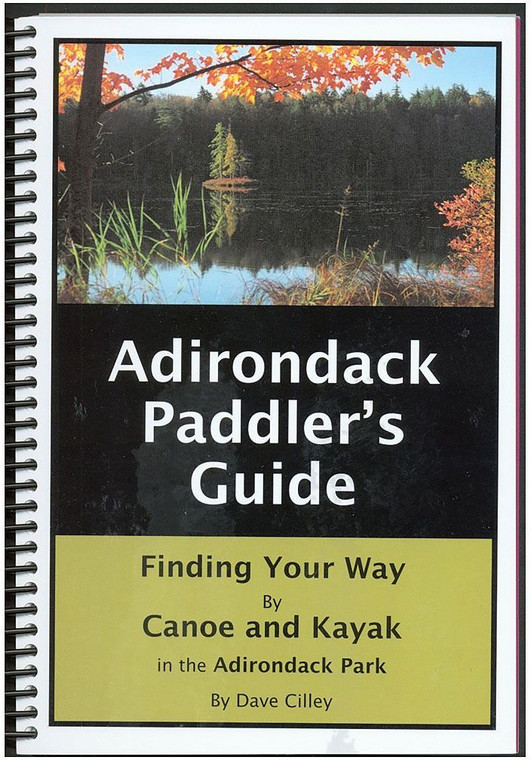
Adirondack Paddlers Map | St. Regis
Paddlers exploring the beautiful waterways of upstate New York need reliable, waterproof navigation tools that withstand wet conditions and repeated handling. This regional paddling map series from Paddlesports Press combines detailed cartographic information with durable, weather-resistant construction specifically designed for kayakers, canoeists, and recreational paddlers. Whether you're planning a day trip on a familiar river or embarking on a multi-day expedition through the Adirondack region's interconnected lakes and streams, this map provides the comprehensive water route information and geographic context necessary for safe, confident navigation.
- Waterproof, tear-resistant material engineered to survive splashing, submersion, and repeated folding in wet conditions
- Detailed bathymetry data showing water depths, channels, and navigation hazards specific to Adirondack waters
- Clear marking of public access points, boat launches, and recommended paddling routes throughout the region
- Topographic contour lines indicating surrounding terrain, elevation changes, and portage routes between water bodies
- Legend and scale information optimized for paddlers planning daily mileage and multi-day expedition segments
- Compact, foldable design that fits in standard dry bags and kayak storage compartments
- Published by Paddlesports Press, a specialized cartography publisher focused exclusively on water sports navigation
- Color-coded waterways and landmarks for quick visual reference while on the water
- GPS-compatible design with coordinate grids for those using electronic navigation devices alongside traditional maps
On the water, this map proves invaluable for route planning, hazard avoidance, and understanding the broader geography of your paddling area. Experienced paddlers use it to identify alternative routes around rapids or obstacles, discover less-traveled connecting waterways, and plan efficient portage paths. Recreational paddlers benefit from the detailed access point information, which reveals launch locations and camping areas that might otherwise require extensive research. The waterproof material means you can safely reference the map mid-paddle without worrying about water damage, and its compact folded size won't weigh down your gear or take up critical storage space.
This map serves kayakers, canoeists, and stand-up paddleboarders exploring the Adirondacks, from casual paddlers on day outings to serious expedition paddlers tackling extended multi-lake routes. If you regularly paddle in upstate New York's premier water recreation area and want authoritative, durable navigation information you can trust, this regional map belongs in your gear collection.
Questions about the Adirondack Paddlers Map?
Reach out to our support team with any questions you might have!
Contact Us
