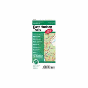

West Hudson Map Set
NY/NJ TRAIL CONFRNCE
$12.99
(No reviews yet)

Write a Review
NY/NJ TRAIL CONFRNCE
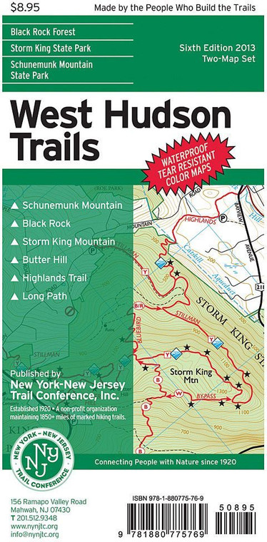
West Hudson Map Set
Whether you're planning a weekend hike through the Hudson Valley or exploring the diverse trail networks spanning New York and New Jersey, having accurate, detailed maps is essential for safe and confident navigation. This comprehensive map set from NY/NJ Trail Conference provides everything you need to discover and traverse some of the region's most scenic and well-maintained hiking routes. Designed for both experienced backcountry enthusiasts and casual day-hikers, these maps combine authoritative trail data with user-friendly cartography that keeps you oriented in the field.
- Durable waterproof paper stock withstands rain, stream crossings, and heavy backpack use in challenging conditions
- Large-format, detailed topographic mapping shows elevation contours, terrain features, and landmark references
- Color-coded trail designations distinguish difficulty levels and trail types for quick route planning
- Comprehensive coverage of West Hudson region including multiple trail systems and connecting corridors
- Legend includes parking areas, shelters, water sources, and points of interest throughout the mapped territory
- Scale and distance markers enable accurate mileage estimation and time-on-trail calculations
- Published by the NY/NJ Trail Conference, an authoritative organization with decades of trail expertise and maintenance involvement
- Lightweight enough for day-pack carry yet substantial enough for extended multi-day trips
- Regular updates reflect trail closures, reroutes, and new construction to keep information current
In real-world use, these maps serve as your primary navigation tool for exploring Hudson Valley ridgelines, waterfall trails, and historic sites throughout the West Hudson corridor. The topographic detail helps you understand terrain difficulty before committing to a route, while water-resistant construction ensures readability even during unexpected afternoon thunderstorms. Hikers consistently report that the trail markings and elevation profiles help them manage pace and plan rest stops effectively. The map set's regional focus means no wasted space on irrelevant areas—instead, you get comprehensive detail for the specific trails and destinations you're visiting.
These maps are ideal for hikers of all experience levels exploring the West Hudson region, from families seeking family-friendly loop trails to serious backpackers tackling multi-day wilderness routes. Whether you're researching a new destination, verifying trail conditions before departure, or navigating complex trail junctions in the field, this authoritative map set provides the detailed geographic information needed for safe, enjoyable outdoor adventures in the Hudson Valley and surrounding areas.
Questions about the West Hudson Map Set?
Reach out to our support team with any questions you might have!
Contact Us