

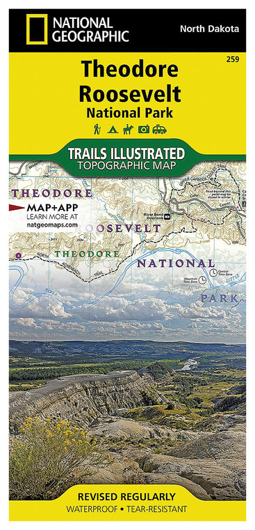
NATIONAL GEOGRAPHIC THEODORE ROOSEVELT NATIONAL PARK MAP
NATIONAL GEOGRAPHIC
$16.99
(No reviews yet)

Write a Review
NATIONAL GEOGRAPHIC
NATIONAL GEOGRAPHIC THEODORE ROOSEVELT NATIONAL PARK MAP
Explore one of America's most iconic natural landscapes with this expertly crafted topographic map from National Geographic. Designed for hikers, outdoor enthusiasts, and park visitors, this detailed map provides comprehensive coverage of Theodore Roosevelt National Park in North Dakota, featuring the rugged badlands, scenic river valleys, and diverse wildlife viewing areas that make this destination world-renowned. Whether you're planning a multi-day backpacking adventure, a day hike along the park's extensive trail system, or simply want to understand the park's geography and geological features, this map serves as an indispensable companion for safe and rewarding exploration.
- Full-color topographic map with detailed contour lines showing elevation changes and terrain relief throughout the park
- National Geographic's signature cartography with trail markings, ranger stations, campgrounds, and scenic viewpoints clearly labeled
- Water features including the Missouri River, Knife River, and all major water sources marked for navigation and planning
- Large-scale format printed on durable, tear-resistant material designed to withstand outdoor conditions and repeated folding
- UTM grid overlay and latitude/longitude markings for GPS navigation and coordinate-based location tracking
- Includes detailed legend explaining map symbols, distance markers, and difficulty ratings for major trails
- Compact fold design fits easily in backpack pockets, map cases, or vehicle glove compartments for convenient access
- Professional-grade accuracy based on USGS data and National Park Service information for reliable route planning
- Waterproof paper stock resists moisture, sweat, and incidental water exposure during outdoor adventures
This map excels in real-world hiking scenarios where detailed terrain information becomes critical. Backcountry hikers benefit from the precise elevation contours when assessing trail difficulty and planning water crossings. Wildlife photographers and nature enthusiasts can identify remote viewpoints and understand how the landscape's topography creates unique ecological zones. The map's durability ensures it performs reliably whether you're navigating during unexpected weather, studying terrain by campfire, or consulting it repeatedly throughout a week-long expedition. Trail intersections, distance markers, and elevation profiles help hikers estimate timing and difficulty before committing to routes.
Perfect for anyone planning a visit to Theodore Roosevelt National Park—from casual day visitors seeking scenic overlooks to serious backpackers tackling challenging multi-day routes through the North Dakota badlands. This map transforms your park experience by providing the geographical knowledge necessary to fully appreciate the landscape's unique features and safely explore its most rewarding destinations. An essential tool for meaningful outdoor adventure in one of America's most spectacular preserved wilderness areas.
Questions about the NATIONAL GEOGRAPHIC THEODORE ROOSEVELT NATIONAL PARK MAP?
Reach out to our support team with any questions you might have!
Contact Us

