

NATIONAL GEOGRAPHIC NEW YORK'S FINGER LAKES MAP
NATIONAL GEOGRAPHIC
$16.99
(No reviews yet)

Write a Review
NATIONAL GEOGRAPHIC
NATIONAL GEOGRAPHIC NEW YORK'S FINGER LAKES MAP
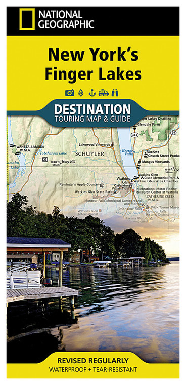
Explore New York's renowned Finger Lakes region with confidence using this detailed, expertly crafted regional map from National Geographic. Whether you're planning a wine country tour, hiking adventure, or scenic road trip through central New York, this map provides comprehensive geographic coverage and practical travel information. National Geographic maps are trusted by outdoor enthusiasts, travelers, and explorers worldwide for their accuracy, clarity, and extensive detail that transforms any journey into a more informed and rewarding experience.
- Premium cartography by National Geographic with precise topographic detail and current geographic information
- Covers all eleven Finger Lakes including Seneca, Cayuga, Keuka, Canandaigua, and Skaneateles Lakes
- Detailed road networks, trails, and points of interest for outdoor recreation and tourism activities
- Durable, water-resistant paper construction withstands outdoor conditions and repeated folding
- Vibrant color relief shading clearly distinguishes elevation changes, terrain, and geographic features
- Includes marked attractions, state parks, hiking routes, wineries, and campgrounds throughout region
- Regional inset maps and comprehensive legend for enhanced navigation and trip planning
- Index with major towns, lakes, and landmarks for quick reference during travel
- Convenient folded format measures approximately 9x25 inches when unfolded for full regional perspective
This map excels in real-world outdoor scenarios where reliable navigation and comprehensive regional context matter most. Hikers and trail enthusiasts benefit from clearly marked elevation contours and park boundaries that help plan day trips and multi-day backpacking adventures. Wine touring enthusiasts appreciate the marked locations of vineyards, tasting rooms, and scenic routes throughout the lake region. Kayakers and water sports enthusiasts use the detailed lake bathymetry and shoreline features for planning paddling routes and access points. The durable construction means this map performs equally well in your vehicle's glove compartment, backpack, or tent, maintaining legibility through countless outdoor adventures. The water-resistant paper ensures readability in unexpected weather, while the vibrant cartography remains clear even in poor lighting conditions.
This map is ideal for anyone exploring the Finger Lakes region, from first-time visitors discovering the area's natural beauty to seasoned outdoor adventurers seeking authoritative geographic reference material. Whether you're a backcountry explorer, road tripper, wine enthusiast, or general nature lover, National Geographic's trusted cartographic expertise ensures you'll navigate the region effectively and discover destinations you might otherwise miss.
Questions about the NATIONAL GEOGRAPHIC NEW YORK'S FINGER LAKES MAP?
Reach out to our support team with any questions you might have!
Contact Us

