

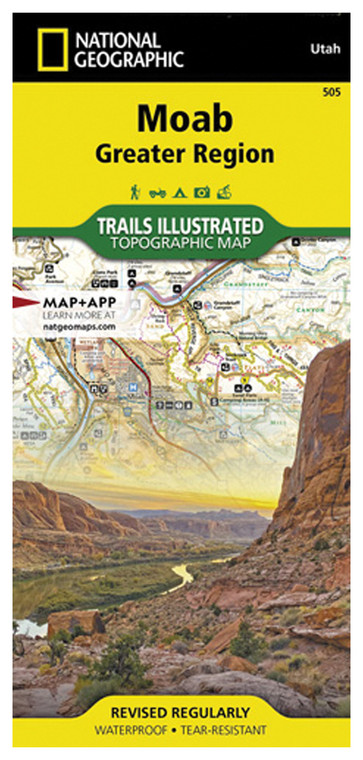
NATIONAL GEOGRAPHIC MOAB GREATER REGION #505
NATIONAL GEOGRAPHIC
$16.99
(No reviews yet)

Write a Review
NATIONAL GEOGRAPHIC
NATIONAL GEOGRAPHIC MOAB GREATER REGION #505
Whether you're planning a backcountry adventure through Utah's stunning red rock country or need a reliable reference tool for hiking, camping, or off-road exploration, this detailed regional map delivers the geographic intelligence you need. Designed for outdoor enthusiasts who demand accuracy and durability in challenging environments, this map covers the greater Moab area with the precision and clarity National Geographic is renowned for. This is the essential companion for anyone exploring one of America's most dramatic and geologically diverse landscapes.
- Highly detailed topographic rendering showing elevation changes, ridgelines, and terrain features across the Moab region
- Durable, water-resistant paper construction designed to withstand moisture, dirt, and repeated folding in the field
- Clear marked trails, roads, and access points with GPS-compatible coordinate grid for accurate navigation
- Geographic reference information including landmarks, canyon systems, parks, and scenic viewpoints throughout the region
- Printed by National Geographic's cartography team using current satellite and survey data for maximum accuracy
- Compact folded format fits easily in backpacks, vehicles, or gear bags without excessive bulk
- Scale and distance markers enable precise route planning and mileage calculations before departing
- Color-coded terrain highlighting helps distinguish between different elevation zones and landscape types
- Comprehensive legend provides detailed information about map symbols, boundaries, and geographic features
In real-world use, this map excels for day hikes around Arches and Canyonlands, multi-day backpacking expeditions through remote slickrock country, mountain biking route planning, and 4x4 vehicle exploration. Rock climbers use it to locate approach routes and understand regional geography. The detailed topography is invaluable for understanding water drainage patterns, identifying potential camping areas, and avoiding dead-end canyons. Unlike digital maps that depend on batteries and cell service, this physical reference works reliably in areas with poor or no connectivity, making it an essential backup navigation tool for serious outdoor adventurers.
This map is ideal for hikers, backpackers, climbers, mountain bikers, and off-road enthusiasts exploring the Moab area and surrounding Utah high desert. Whether you're a first-time visitor seeking to understand the region's geography or an experienced explorer needing updated trail and landmark information, National Geographic's meticulous cartography provides the confidence and clarity required for safe, rewarding outdoor experiences in this iconic landscape.
Questions about the NATIONAL GEOGRAPHIC MOAB GREATER REGION #505?
Reach out to our support team with any questions you might have!
Contact Us

