


NATIONAL GEOGRAPHIC GRAND JUNCTION FRUITA MAP
NATIONAL GEOGRAPHIC
$16.99
(No reviews yet)

Write a Review
NATIONAL GEOGRAPHIC
NATIONAL GEOGRAPHIC GRAND JUNCTION FRUITA MAP
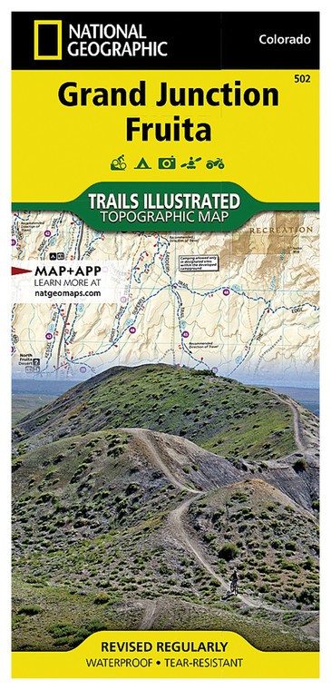
Whether you're planning a hiking expedition, mountain biking adventure, or comprehensive road trip through Colorado's western plateau, having an accurate, detailed map is essential for navigation and trip planning. This National Geographic map covers the Grand Junction and Fruita area with the precision and cartographic expertise the brand has built over 135 years of mapmaking. Perfect for outdoor enthusiasts, travelers, and locals alike, this map provides the geographic context and terrain detail needed to explore one of Colorado's most scenic and geologically significant regions with confidence.
- National Geographic's proprietary cartographic data ensures accuracy for hiking trails, roads, and geographic features in the Grand Junction-Fruita corridor
- Detailed topographic information reveals elevation changes, peaks, valleys, and natural landmarks across the 7,000+ acre study area
- High-quality printed map on durable, water-resistant paper stock designed to withstand outdoor conditions and repeated handling
- Clear labeling of towns, highways, scenic drives, and points of interest including Colorado National Monument access points
- Comprehensive trail systems mapped, including popular destinations like Palisade and lesser-known backcountry routes
- Color-coded terrain representation distinguishes elevation zones, vegetation patterns, and landscape transitions for better route planning
- Compact folded format (approximately 23x32 inches unfolded) fits easily in backpacks, vehicles, and outdoor gear without excessive bulk
- Scale provides optimal detail balance—close enough to identify specific features, wide enough to plan multi-day excursions
- Printed by National Geographic Maps division using archival-quality inks and materials for long-lasting clarity and durability
Whether navigating the rim trails around Colorado National Monument, exploring the intricate network of mountain biking paths near Fruita, or planning a comprehensive road trip through the region, this map delivers the geographic intelligence serious outdoor adventurers require. The detailed topographic rendering helps identify ridgelines, water sources, and terrain obstacles before you encounter them in the field. Local business locations and town layouts are clearly marked, making it valuable for both wilderness exploration and visiting nearby restaurants, lodging, and services. The map's durability means it withstands dust, moisture, and repeated unfolding without deteriorating.
This map is ideal for hikers, mountain bikers, off-road enthusiasts, camping trip planners, and anyone seeking to explore the Grand Junction-Fruita region with reliable geographic reference. From casual day-hike planning to serious backcountry navigation, National Geographic's attention to cartographic detail provides the confidence and clarity needed to make the most of your Colorado outdoor adventure.
Questions about the NATIONAL GEOGRAPHIC GRAND JUNCTION FRUITA MAP?
Reach out to our support team with any questions you might have!
Contact Us
