

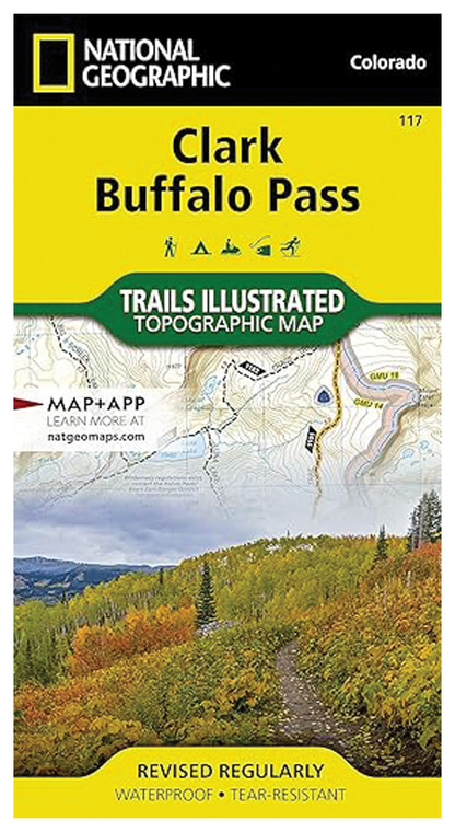
NATIONAL GEOGRAPHIC CLARK BUFFALO PASS #117
NATIONAL GEOGRAPHIC
$16.99
(No reviews yet)

Write a Review
NATIONAL GEOGRAPHIC
NATIONAL GEOGRAPHIC CLARK BUFFALO PASS #117
This detailed topographic map captures the rugged terrain and scenic beauty of Clark Buffalo Pass, offering outdoor enthusiasts, hikers, and backcountry adventurers an essential navigation tool for exploring this stunning alpine region. Whether you're planning a multi-day trek, trail running expedition, or wilderness exploration, this professionally-rendered map provides the precise geographical information needed to safely navigate challenging terrain. Produced by National Geographic, a trusted authority in cartography and outdoor exploration, this map combines accuracy with durability to serve both experienced mountaineers and recreational outdoor enthusiasts.
- High-resolution topographic detail showing elevation contours, peaks, valleys, and drainage patterns with professional accuracy
- Waterproof and tear-resistant material construction ensures durability in harsh weather, moisture, and rugged field conditions
- Clearly marked trails, trailheads, and access points with comprehensive route information for trip planning
- Detailed legend includes symbols for campsites, water sources, landmarks, and other critical navigation features
- Large readable format reduces need for magnification while remaining portable for backpack travel
- National Geographic's renowned cartographic expertise ensures geographic accuracy and up-to-date terrain information
- Indexed reference system allows quick location identification for specific peaks, passes, and geographic features
- Color-coded elevation zones provide intuitive visual reference for understanding terrain difficulty and altitude changes
- Compact folded design with reinforced creases enables storage in jacket pockets, map cases, or backpack side pockets
In real-world backcountry applications, this map excels at route planning, trail navigation, and wilderness safety. The precise topographic data helps hikers understand terrain difficulty before departure, identify water sources and camping locations, and make informed decisions during navigation. The durable material withstands morning condensation, stream crossings, and extended exposure to mountain weather without deteriorating or becoming illegible. Alpine explorers appreciate the comprehensive detail of high-elevation features, while trail runners benefit from the clear route identification and distance markers that support endurance training in varied terrain.
This map is ideal for serious hikers, backcountry campers, mountaineers, and outdoor adventurers seeking reliable navigation tools for the Clark Buffalo Pass region. Whether you're undertaking a guided expedition, solo wilderness exploration, or group trekking adventure, this professional-grade topographic resource provides the confidence and accuracy necessary for safe, successful mountain travel.
Questions about the NATIONAL GEOGRAPHIC CLARK BUFFALO PASS #117?
Reach out to our support team with any questions you might have!
Contact Us

