

MAP ADVENTURES WHITE MOUNTAINS WATERPROOF TRAIL MAP
MAP ADVENTURES
$14.99
(No reviews yet)

Write a Review
MAP ADVENTURES
MAP ADVENTURES WHITE MOUNTAINS WATERPROOF TRAIL MAP
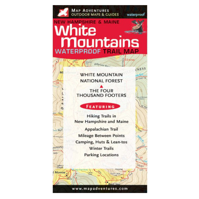
Navigating backcountry trails in New Hampshire's most iconic mountain range requires reliable, waterproof navigation tools that withstand unpredictable weather and rugged terrain. This detailed trail map from MAP ADVENTURES delivers professional-grade cartography specifically designed for hikers, trail runners, and outdoor enthusiasts exploring the White Mountains region. Whether you're planning a day hike to a popular summit or embarking on a multi-day backpacking adventure, this durable map provides the essential geographic information and trail detail you need to navigate confidently through thousands of acres of wilderness.
- 100% waterproof material construction resists rain, moisture, and sweat without tearing or deteriorating
- Detailed topographic contours and elevation markers for accurate route planning and altitude awareness
- Clearly marked hiking trails with difficulty ratings and estimated hiking times for each route
- Comprehensive legend identifying shelters, water sources, parking areas, and emergency landmarks
- Durable tear-resistant paper printed with fade-resistant inks for long-term durability in outdoor conditions
- Easy-to-read scale with mile and kilometer measurements for precise distance calculations
- Indexed trailhead locations and natural landmarks referenced to GPS coordinates
- Lightweight, compact format folds to convenient pocket size without sacrificing readability
- Laminated finish allows marking with pencil or dry-erase markers for temporary route notes
In real-world use, this map excels across diverse hiking scenarios throughout the White Mountains. Experienced hikers appreciate the detailed terrain representation that reveals challenging sections, stream crossings, and exposed ridgelines before they're encountered on trail. The waterproof construction proves invaluable during sudden weather changes, allowing you to reference navigation points during rain or snow without concern for map damage. The legible print quality remains sharp in bright sunlight and low-light conditions, making route verification possible at any time of day. Trail runners benefit from the compact folded size and weight, while backcountry campers rely on the accurate topographic data for camp site selection and water source location.
This map is ideal for anyone spending time in New Hampshire's White Mountains, from casual day hikers tackling well-known peaks to serious backcountry travelers exploring remote valleys and ridge systems. Whether you're new to the region or a returning visitor seeking detailed navigation beyond smartphone GPS, this professionally crafted trail map provides the confidence and reliability that backcountry adventures demand.
Questions about the MAP ADVENTURES WHITE MOUNTAINS WATERPROOF TRAIL MAP?
Reach out to our support team with any questions you might have!
Contact Us

