

GIBBS SMITH NATIONAL PARKS MAPS
GIBBS SMITH
$21.99
(No reviews yet)

Write a Review
GIBBS SMITH
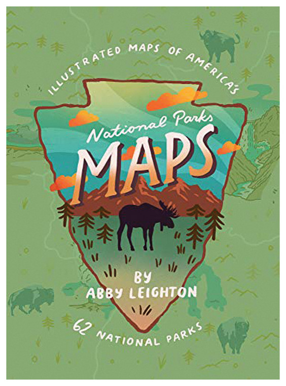
GIBBS SMITH NATIONAL PARKS MAPS
Planning your next adventure to America's most iconic natural landscapes? These detailed, beautifully illustrated maps provide the perfect companion for exploring the diverse terrain, attractions, and hidden gems found across the National Parks system. Whether you're a seasoned backpacker, casual day-hiker, family road-tripper, or armchair traveler dreaming of future expeditions, these comprehensive reference maps deliver the geographic knowledge and visual inspiration you need to maximize your outdoor experience.
- Full-color cartography with topographic detail showing elevation changes, ridgelines, and terrain complexity
- Clear marking of established trails, trailheads, parking areas, ranger stations, and visitor facilities
- Comprehensive coverage of major and lesser-known parks with individual detailed maps for each location
- Durable, high-quality paper stock designed to withstand field use, moisture, and repeated folding
- Legend and geographic reference information providing context for natural features and wildlife zones
- Scenic landmark locations highlighted, including viewpoints, geological formations, and popular destinations
- Practical distance measurements and scale indicators for trip planning and route estimation
- Professionally designed layout combining educational value with stunning visual presentation of park geography
- Ideal reference tool for pre-trip research, backcountry navigation, and discovering new routes and destinations
These maps excel in real-world outdoor settings where reliable geographic reference matters most. Before heading into the backcountry, use them to study terrain, identify water sources, and plan daily mileage—essential preparation that separates smooth expeditions from frustrating surprises. During day hikes, their detailed trail markings and landmark illustrations help you navigate with confidence while staying aware of elevation gain and terrain obstacles. Family road-trippers benefit from the visual organization of attractions and facilities, making it easy to spot scenic overlooks, picnic areas, and accessible viewpoints. The cartography highlights ecological zones, helping you understand why vegetation and wildlife vary dramatically across elevation and latitude. Even experienced hikers appreciate the historical and geographic context these maps provide, enriching the narrative of your journey through some of Earth's most remarkable landscapes.
These maps serve adventurers of all experience levels—from first-time visitors needing orientation to veteran mountaineers planning multi-week expeditions. They're equally valuable as planning tools at home and as durable field references in challenging outdoor conditions. Whether displayed on your wall as inspiration or packed in your backpack for navigation, these National Parks maps deliver both practical utility and the kind of geographic knowledge that transforms casual visitors into informed explorers.
Questions about the GIBBS SMITH NATIONAL PARKS MAPS?
Reach out to our support team with any questions you might have!
Contact Us
