

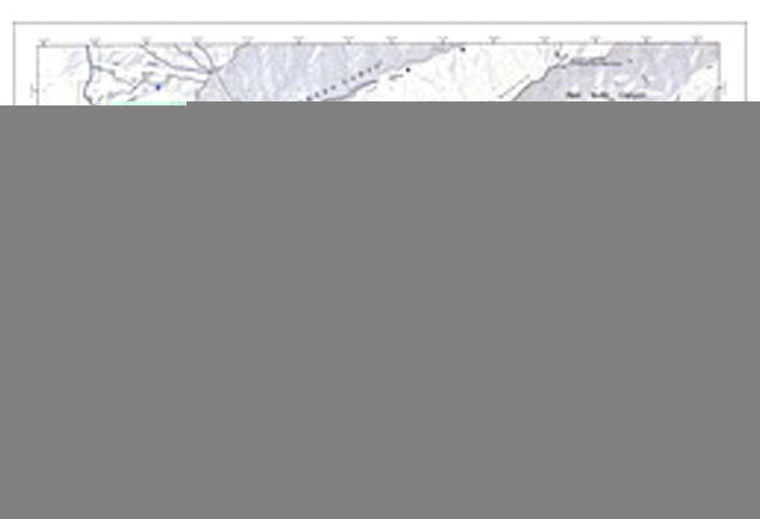
DANIEL SMITH UNIVERSITY OF UTAH/CITY CREEK/AVENUES AREA
DANIEL SMITH
$4.99
(No reviews yet)

Write a Review
DANIEL SMITH
DANIEL SMITH UNIVERSITY OF UTAH/CITY CREEK/AVENUES AREA
Whether you're planning a hiking expedition through the Wasatch Range, exploring the urban trails of Salt Lake City, or documenting your outdoor adventures with precision, this detailed map product is an essential navigation and reference tool. Daniel Smith specializes in producing high-quality, regionally-focused maps that combine cartographic accuracy with practical durability, making them indispensable for hikers, backpackers, outdoor enthusiasts, and adventure planners who demand reliability in the field. This particular offering covers the University of Utah, City Creek, and Avenues Area—a diverse region encompassing academic landmarks, natural parks, and established neighborhoods that require accurate representation for safe and confident exploration.
- Comprehensive coverage of University of Utah campus, City Creek Canyon, and the Avenues neighborhood district with clear landmark identification
- High-resolution cartographic detail showing trails, streets, elevation changes, and natural features with exceptional clarity and readability
- Weather-resistant paper construction designed to withstand moisture, folding, and extended outdoor use without degradation
- Color-coded terrain and vegetation layers for quick visual reference and route planning in varied landscapes
- Detailed legend identifying parks, trailheads, parking areas, and points of interest throughout the mapped region
- Compact, foldable format suitable for backpacks, jacket pockets, and vehicle glove compartments for convenient access
- Professional cartography meeting industry standards for scale accuracy and topographic representation
- Ideal for both digital navigation backup and users preferring traditional paper maps for offline reliability
- Locally-focused regional scope perfect for residents, visitors, students, and outdoor recreationalists exploring this specific Salt Lake City area
This map excels in real-world navigation scenarios where GPS devices may lose signal or battery life becomes a concern. Hikers tackling trails in and around City Creek Canyon will appreciate the precise elevation profiles and trail junction markings. Students and staff at the University of Utah can use this as a comprehensive campus orientation tool, while outdoor enthusiasts planning multi-day excursions appreciate having a tactile reference that doesn't depend on technology. The Avenues area's street network and residential layout are rendered with sufficient detail to prevent confusion, especially valuable for those unfamiliar with the region's winding roads and interconnected neighborhoods. Whether you're navigating for recreation, education, or general exploration, the combination of durability and accuracy means this map will remain a trusted resource through countless adventures.
This product is ideal for outdoor enthusiasts who value preparedness and reliability, students and faculty seeking campus orientation tools, hikers and backpackers exploring the greater Salt Lake City region, and anyone who appreciates quality cartography as insurance against dead batteries and lost signals. Keep this map in your adventure kit for dependable navigation.
Questions about the DANIEL SMITH UNIVERSITY OF UTAH/CITY CREEK/AVENUES AREA?
Reach out to our support team with any questions you might have!
Contact Us

