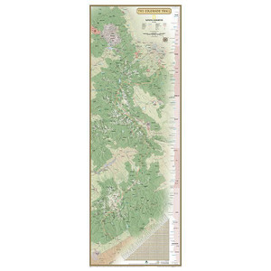
National Geographic | Colorado Trail Collegiate Loop No. 1203
NATIONAL GEOGRAPHIC
$17.92
The Collegiate Loop Topographic Map Guide starts at the top end of the loop near Twin Lakes Reservoir. The trail tracks south along the eastern slope of Sawatch Range under the watchful gaze of several 14ers (fourteen-thousand foot peaks) until it joins the Continental Divide Trail near Monarch. The trail then turns north along the west side of the Sawatch Range as it crisscrosses the continental divide until finally finishing the loop back at Twin Lakes Reservoir. Each page is centered on the trail and overlaps with adjacent pages so there is little chance of getting lost. Along the bottom of each page is a trail profile that shows the distance between passes, camping areas, and trail access points. The map and trail profile provide a step by step visual guide to hiking the trail, mile by rugged mile.
Questions about the National Geographic?
Reach out to our support team with any questions you might have!
Contact Us


