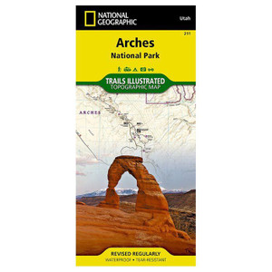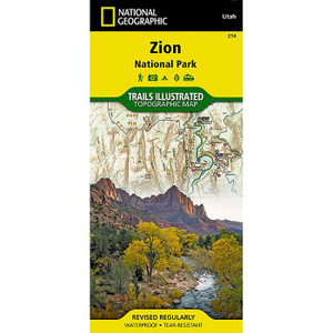
National Geographic | Carlsbad Cavern National Park No. 247
NATIONAL GEOGRAPHIC
National Geographic's Trails Illustrated map of Carlsbad Caverns National Park is the most comprehensive map available for those exploring both above and below ground in the beautiful section of the Guadalupe Mountains in southeastern New Mexico. Created in cooperation with the National Park Service and U.S. Forest Service, this unique map provides invaluable information about the abundance of recreation and adventure activities in the area. One side of the map covers the entire national park, including Carlsbad Wilderness, and adjacent areas, such as southeastern Lincoln National Forest and Mudgetts WSA. The other side of the map shows the underground worlds of Carlsbad Caverns and Slaughter Canyon Cave.
Descriptions of trails in the park will help you chose a suitable route for your adventure. Navigate using the map's contour lines, elevations, labeled peaks and summits, water features, selected waypoints and full road network. Route options through the Caverns and Slaughter Canyon Cave are shown with detailed descriptions. Underground maps have labeled rooms and pinpointed stalactites, stalagmites, columns, breakdowns, slopes, pools, bat guano, gypsum, unexplored passages and other points of interest. Also included are a backcountry travel overview, hiker safety tips, cavern regulations, and background information about the park with contact information.
Every Trails Illustrated map is printed on "Backcountry Tough" waterproof, tear-resistant paper. A full UTM grid is printed on the map to aid with GPS navigation.
Other features found on this map include: Carlsbad Caverns National Park, Lincoln National Forest.
Questions about the National Geographic?
Reach out to our support team with any questions you might have!
Contact Us


